
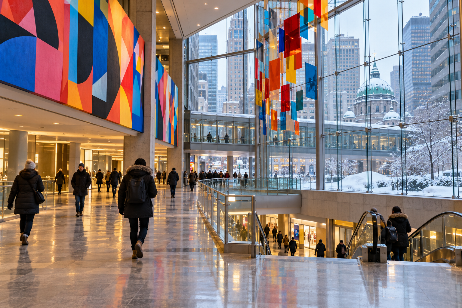
Montréal’s “Underground City” is not a single cavern or attraction. RÉSO is a network of indoor pedestrian passages linking metro stations, shopping centres, office towers, hotels, cultural venues and Central Station. Official sources describe roughly 32–33 kilometres of connections used by about 500,000 people a day. The most useful way to visit is to sample a few connected districts, not to chase every corridor.
A realistic RÉSO route for first-time visitors
Allow 2½–3 hours for this east-to-west sampler, including a metro hop and a food or art stop. Keep an official RÉSO map on your phone and follow the red-and-blue RÉSO symbols. For an above-ground overview before or after, save our Montréal walking route through Old Montréal, the Plateau and Mount Royal.
1. Start at Complexe Desjardins
Enter from the Quartier des spectacles near Place des Festivals. The broad atrium makes an easy orientation point and connects toward Place des Arts. Look for level changes: the network often passes through privately operated buildings, so “underground” can mean a basement concourse, a glazed interior hall or a short tunnel.
2. Explore Place des Arts, then use the metro
Place des Arts adds performance venues and cultural spaces to the network. Rather than assuming every eastern passage continues seamlessly west, take the green line one stop from Place-des-Arts to McGill. A metro fare is required; this short ride avoids confusing surface gaps and keeps the route practical.
3. Walk through Eaton Centre and Place Montréal Trust
From McGill station, follow indoor signs into the retail core. Eaton Centre is useful for food, toilets and a warm pause, while Place Montréal Trust extends the connected shopping area. Opening hours belong to each building, so late-evening and holiday access can differ from metro operating hours.
4. Continue to Place Ville Marie and Central Station
Place Ville Marie marks the historic heart of the network: protected links between the tower, the Queen Elizabeth hotel and Central Station helped launch the system in 1962. The station’s stone murals and constant commuter movement show that RÉSO is working infrastructure, not only a shopping destination.
5. Finish via Bonaventure, the World Trade Centre and Palais des congrès
Continue through the Bonaventure cluster toward the World Trade Centre Montréal, where a section of the Berlin Wall is displayed, then reach the Palais des congrès and its coloured glass. This final section combines transport, public art and architecture. If a corridor is closed, return to street level and re-enter at the next marked building rather than forcing a detour through offices.
How not to get lost
- Use destination names—station, mall or tower—not compass directions alone.
- Watch for RÉSO symbols at junctions and photograph the nearest map.
- Expect stairs, escalators and several floor changes.
- Check the building name before exiting: many entrances look alike from inside.
- Download the official map; mobile reception can weaken in some passages.
Food, art and useful pauses
The network connects food halls and courts at Eaton Centre and Place Ville Marie, alongside cafés and restaurants near Central Station. Public art appears throughout the route, and some works are reachable through self-guided Art Public Montréal resources. Choose one meal stop and one art stop instead of trying to turn a transport network into a checklist.
Accessibility and winter planning
RÉSO is climate-controlled, but it is not uniformly step-free. Elevator availability depends on the metro station and individual building, and maintenance can change a route. Check STM accessibility and service status on the day, travel during building opening hours, and allow extra time after snow or during major events.
For a narrated alternative, compare a free walking tour. Independent travellers can use the Best Free Tour route matcher as a self-guided planning aid or browse compatible Montréal experiences.
FAQ
Is Montréal’s Underground City free?
Walking through the public passages is free. Metro rides, attractions, food and shopping cost extra.
Is the whole network open 24 hours?
No. The passages cross buildings with their own opening hours, which can differ from metro hours.
Can I walk all 32 kilometres?
The figure describes the whole network, not one simple continuous visitor trail. A focused two- or three-hour section is more useful.
Is it worth visiting in summer?
Yes. The network also offers relief from heat and rain, although winter shows its role in Montréal life most clearly.
Information checked on 29 October 2026 against the City of Montréal and Tourisme Montréal, including guidance updated on 27 October 2026.