
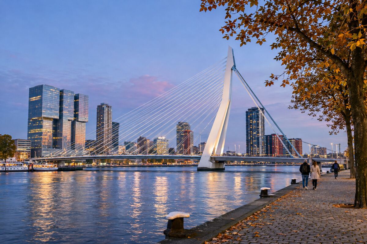
Rotterdam is at its best when the river sets the pace. This self-guided bridge loop crosses the Nieuwe Maas twice, links two very different bridges and gives you an easy way to read the city through water, engineering and post-war architecture. Allow about 2.5 hours for the 6-kilometre circuit, more if you stop for photographs or lunch.
If this is your first visit, keep our Rotterdam city guide open for wider planning. The loop below is designed as a focused half-day walk rather than a checklist of every central sight.
Rotterdam bridge loop at a glance
- Start: Leuvehaven or Willemsplein
- Finish: Blaak, with an optional return to Leuvehaven
- Distance: roughly 6 km
- Best light: late afternoon into blue hour
- Surfaces: paved paths, bridge pavements and a few ramps
The city’s official Rondje Bruggen project connects the Erasmusbrug, Willemsbrug and Koninginnebrug along the Maas. This shorter visitor-friendly version concentrates on the most scenic central section. Check current works and weather before setting out; exposed bridge decks can feel windy.
Step-by-step route across the Maas
1. Leuvehaven to Willemsplein
Begin beside Leuvehaven, where maritime exhibits and working-waterfront details set the context. Walk south to Willemsplein. From here, the Erasmus Bridge rises over the river with its single angled pylon and fan of cables. The bridge is about 800 metres long and links the northern and southern banks.
2. Cross the Erasmusbrug
Use the pedestrian pavement and take your time. Look back for the layered skyline around the centre, then forward to Kop van Zuid. Cyclists move quickly, so keep to the walking side and pause only where space allows. At the south end, the waterfront around Wilhelminapier is a good short detour for contemporary towers and broad river views.
3. Follow the water to Noordereiland
Turn east along the south-bank waterfront, then continue towards Koninginnebrug and Noordereiland. This residential island gives the route a quieter middle chapter: brick façades, harbour infrastructure and open sightlines replace the high-rise drama. It is also a useful place for a café break away from the busiest visitor areas.
4. Return on the Willemsbrug
Cross the red Willemsbrug back towards the centre. The contrast with the pale, cable-stayed Erasmusbrug is the visual point of the loop. From the bridge, you can see the river traffic and the line of the route you have just walked. On the north bank, continue through the old harbour area towards Blaak.
5. Finish at Cube Houses and Markthal
At Blaak, the yellow Cube Houses and the arched Markthal provide a compact architectural finale. The Cube House show home normally welcomes visitors daily, while Markthal hours vary by day and on holidays; check the official pages before relying on an interior visit. From Blaak, metro lines A, B and C make onward travel simple.
How to make the walk work for you
Start before sunset if you want both daylight and illuminated bridges. In strong wind or rain, shorten the route by taking metro D or E between Leuvehaven and Wilhelminaplein. Step-free access is generally good, but temporary works can affect lifts and pavements, so consult live transport information if accessibility is essential.
For more context, compare a free walking tour, use the AI tour matcher, browse available walking tours, or add a compatible activity from our experiences.
Frequently asked questions
Is the Rotterdam bridge loop free?
Yes. The route uses public pavements and riverfront paths. Only optional interiors, food and transport cost extra.
Can I walk it at night?
Yes, but blue hour is more rewarding because you see the river before and after the lights come on. Stay on lit paths and check current works.
Is the route suitable for children?
It can be, although the full circuit is long for small children and bridge sections are exposed. A stroller-friendly shortcut is to cross Erasmusbrug and return by metro from Wilhelminaplein.
Which direction is best?
Clockwise from Leuvehaven places the Erasmusbrug first and ends among the food and transport options around Blaak.